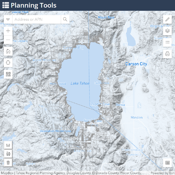
The Tahoe Planning Tools collection is an ongoing suite of interactive web maps and data dashboards built to support environmental planning, regulatory compliance, and public outreach at the Tahoe Regional Planning Agency.
Each tool is designed to make complex geospatial and environmental data accessible — to agency staff, local governments, and the public alike. The suite spans water quality monitoring, land capability, permit tracking, and regional condition indicators.